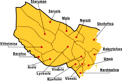
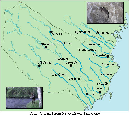
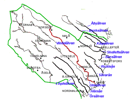
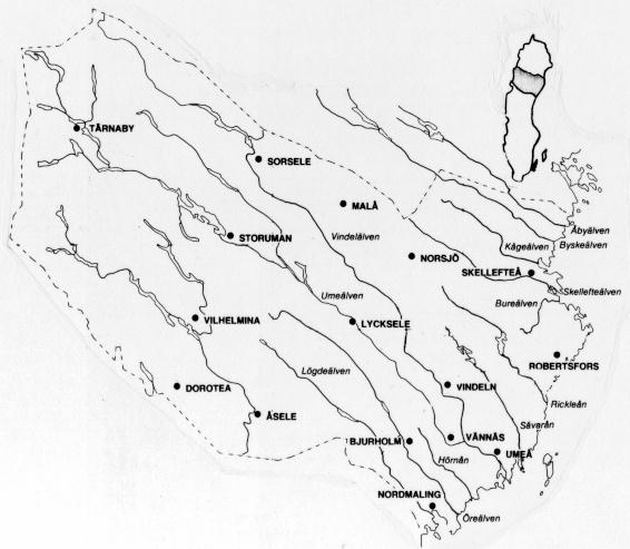
Location of the 15 Municipalites/Township and the Rivers in the County of Västerbotten.
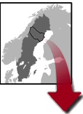
( Västerbotten, one of 24 counties in Sweden.
Where on Earth is Sweden ? ...... or more developed )
Image sources :
The Scandinavian map is from
Sevärd Natur & Kultur i Västerbotten (in swedish)
The yellow map (15 Municipalites/Township) is from
Fiske i Västerbottens län (in swedish)
The green map (11 Salmon rivers) is from
Lax- och havsöringälvarna (in swedish)
The transparent map (Blue letter, the 11 Salmon Rivers in the County of Västerbotten) is from
Älvar i Västerbotten (in swedish)
The grey map is maybye superflous now but I like it. (Nostalgia, my first scanned picture 1994 ;-)
< Lennart.Widmark@fek.umu.se >